RideAllSLC
Riding all of Salt Lake City's streets by bicycle.
Table of Contents:
Inspiration
To put it simply, I've always wanted to try and ride all of the streets in Salt Lake City! However, it was always more of a transient goal that never got to the "Okay, but how would I actually do this," stage. That changed when I came across /u/brheath's post on the /r/SaltLakeCity sub-reddit "Just finished up running every street of Salt Lake City!"
Bryant's write-up of his methodology proved to be all the inspiration I needed to start! On January 1, 2021 I started the journey with my first ride in the Capitol Hill neighborhood.
The Rider
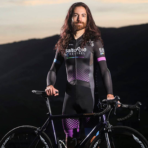
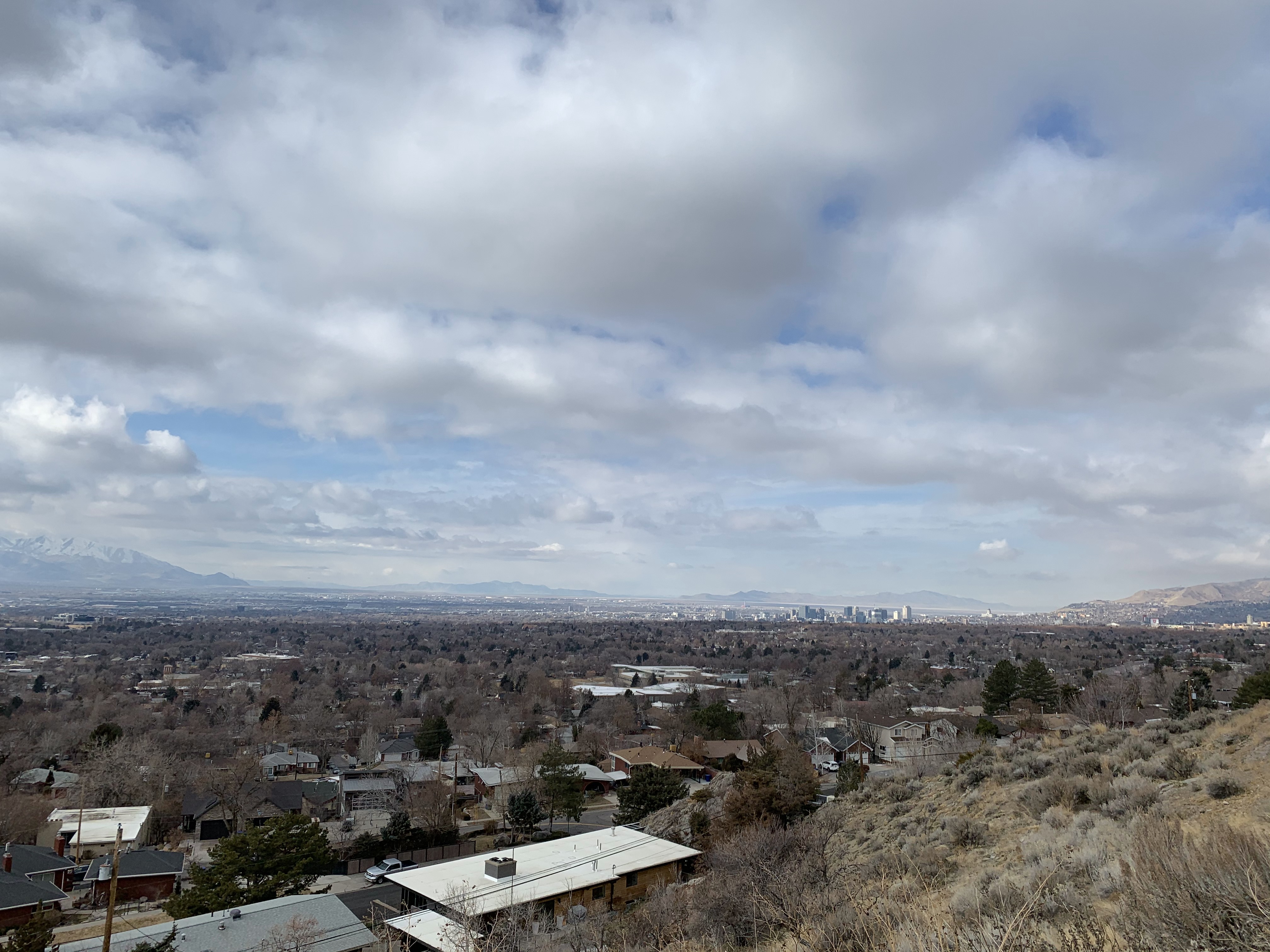
Just to give you an idea of who I am. My name is Bryan and I've been riding bicycles essentially my whole life but started really "seriously" riding and commuting in 2012. I typically ride around ~100 miles a week and I'm a huge proponent of all forms of active transportation and making our streets equitable for all users! I race bicycles with SaltCycle-Kestrel Wellness. Part of the appeal of doing this project was to explore even more of Salt Lake City than I already have been blessed enough to do so on two wheels.
If you want to follow any of my social medias for the occasional bicycle or cat photo, or my Strava for my constant City Creek Canyon rides...
Methodology
Bryant laid most of the ground work of the methodology that I followed for accomplishing this project. This consisted of:
- Record bike ride with GPS. I used Strava's iPhone app so I would have quick access to a live map of my ride to check for completion and missing streets. I opted for this approach rather than my Garmin computer or watch.
- Download GPX file of ride. Once the ride was finished and uploaded to Strava, I downloaded a copy of the .GPX file.
- Create a map with GPSVisualizer.com Initially I was compiling all of my GPX files into one rolling master file. However, I hit the filesize limit on GPSVisualizer after around 30 rides. After that I started creating an individual map for each ride and compiling them into a single map.
- Identifiy missing areas, go for a ride, and repeat! Early on it was easy to just "go out and start riding" and know that I have plenty of ground to cover. Once I started making significant progress it became necessary to start planning rides more deliberately, especially in high traffic, poor bike infrastructure areas.
I received a master map of Salt Lake City's streets (thanks Tom) that I overlaid on my working map in order to triple check that I wasn't missing anything. This highlighted the many inconsistencies that occur between different map sources and platforms.
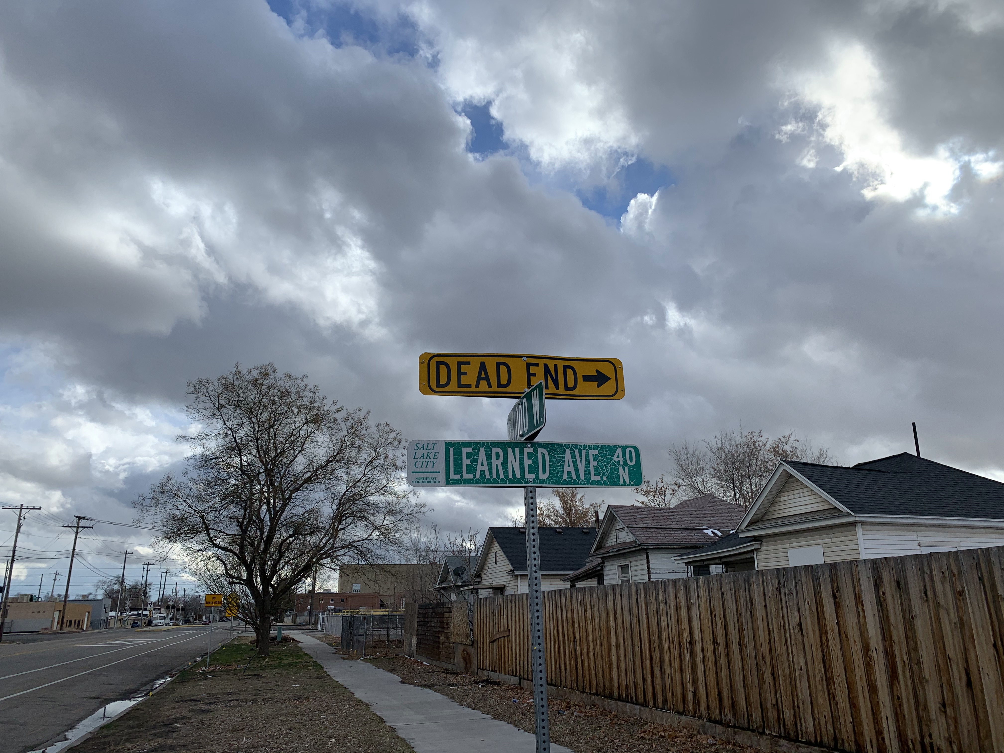
For example, Bishop Place off 300 West between 400 & 500 North. It appears on the master map. It appears on Google Maps. But, it does not appear on OpenStreetsMap. So... Does it exist? "Sort of." The street is fenced off and appears to be slated for some sort of construction. Therefore, a skip!
For the sake of my sanity I relied on the provided master map and OpenStreetsMap as the basis of "what I needed to get." I did not attempt to try and do this as efficiently as possible. I also didn't try to avoid repeating streets, or doing both directions on parkways. If I went down the street one way or another, I counted it. I also did not include alleyways or other minor "right-of-ways" as part of the project.
With all that being said... My strategy of starting high and east and working west into the valley was maybe not the best strategy.
If I were to do this again I would start at the farthest reaches of the city in all directions and work towards the center. This way it would be easier to frame in sections to work on in the interior of the city as well as not repeating so many streets in order to get out to the areas I needed to work on. I started every ride (with the exception of my final ride) from my house which would also lend itself to an "outside-in" approach much better.
Stats
RideAllSLC Project Totals (49 Rides)
Elapsed Time: 108 Hours, 27 Minutes, 56 Seconds
Total Distance: 1,382 Miles
Total Elevation Gain: 62,953 Feet
RideAllSLC Individual Averages
Average Ride Time: 2 Hours, 12 Minutes, 49 Seconds
Average Ride Distance: 28.2 Miles
Average Ride Elevation: 1,285 Feet
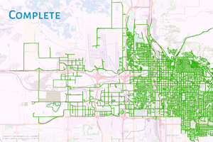
The Map
First and foremost, big thank you to GPSVisualizer.com which allowed me to build the map that I used to keep track of progress and to be able to share! The first map shows the entire project from Ride 1 through 49 as individual tracks so you can see how the tapestry was made. The second map has the master map from Salt Lake City GIS shown underneath in blue so you can see some of the differences and discrepencies that exist out there.
Naturally, I wasn't able to get every single road for a variety of reasons. It may be of some interest to list the streets that I was unable to obtain:
- 2000 E Quail Estates Way (Private)
- Forest Park Ct (Private)
- Harvard Oaks Circle (Private)
- 1700 S Bambrough Place (Private)
- Carrigan Canyon Drive (Private)
- Soldier Cr & Pollock Road (No Public Access/Ft. Douglas Base)
- New Bonneville Pl (Private)
- F St North of 14th Ave (Private)
- Oak Forest Road (Private)
- 800 W Everett Ave (Private)
- 1800 N Dexter St (Private)
- De-Icing Facility Rd off 4000 W (No Public Access)
- Hidden Villa Rd (Private)
- Motor Avenue (Fairgrounds Parking Lot)
- Sun Arbor Terrace (Private)
- Dubei Court (Consturction)
- Major St. (Closed)
- Woodbine St. (Closed)
- Gale Street (Construction)
- Arnold Place, 300 E between 200 S & 300 S (Construction)
- Terminal Road (Not Brave Enough)
Ride Log
Here is the log of every single ride I did in order to accomplish "RideALLSLC." I've included any notes that I wrote down from the ride and any pictures that I may have taken. Unfortunately, I didn't take a lot of photos (though I should have in retrospect) but there are a few here and there.
RideAllSLC 2k21 Ride: 001
Notes:
OpenStreetMap has a loose definition of what constitutes a “street.” Or I'm going to have to pay more attention to alleys and "public right-of-ways" and whether or they should be included?
RideAllSLC 2k21 Ride: 002
Notes:
There are some gaudy homes up on these here hills. The Richard Dr. trailhead to BST was an interesting find though. I thoroughly enjoyed “trespassing” into the gated neighborhood at the top of Popperton!
RideAllSLC 2k21 Ride: 003
Notes:
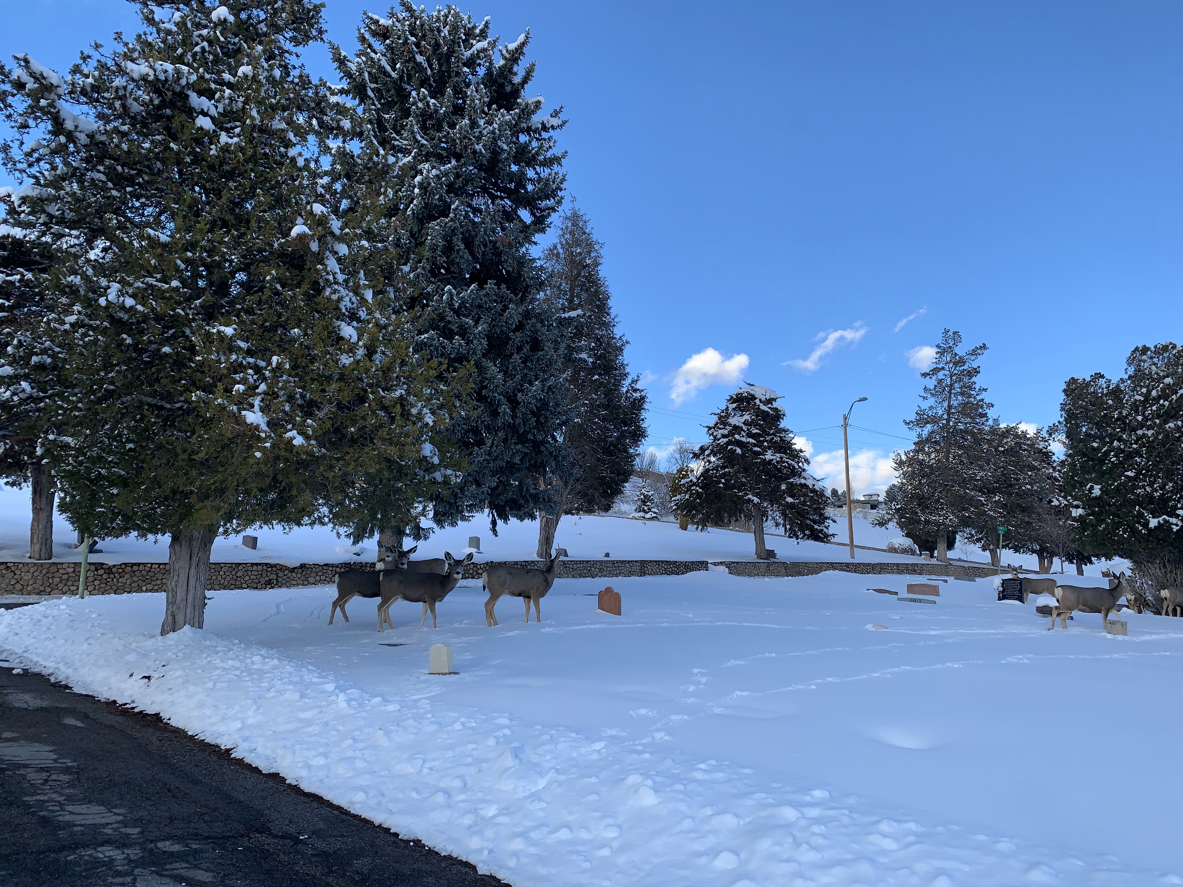
Initially planning to do the Avenues checkerboard today but chose the cemetery instead. Despite being “closed” I considered the streets in the cemetery part of the public streets. Keeping track of the ground covered was surprisingly difficult but I'm pretty sure I got everything despite some messy GPS data. Might have to run the Garmin for final GPS data and iPhone Strava for map/progress? I also nabbed the weird roads & Ipson St. in the avenues to make the checkerboard easier when I do it.
Photos:
RideAllSLC 2k21 Ride: 004
Notes:
Rich neighborhood, fraternity row, and lower campus edition. What is a street on campus? What is a parking lot? We may never know.
RideAllSLC 2k21 Ride: 005
Notes:
VERY excited to be done with the University/Research Park bits!
RideAllSLC 2k21 Ride: 006
Notes:
That was about what I was expecting. Some very hidden little roads that were glorified alleyways (but had green street signs!) You can probably tell that the more I got done the more I had to stop and check the map! Marmalade is such a wild (in the good way!) neighborhood but you can see the tides of gentrification are in full swing.
RideAllSLC 2k21 Ride: 007
Notes:
Rest day edition. I’ve always loved the neighborhood at the mouth of Memory Grove and figured I’d tack the road up Memory too.
RideAllSLC 2k21 Ride: 008
Notes:
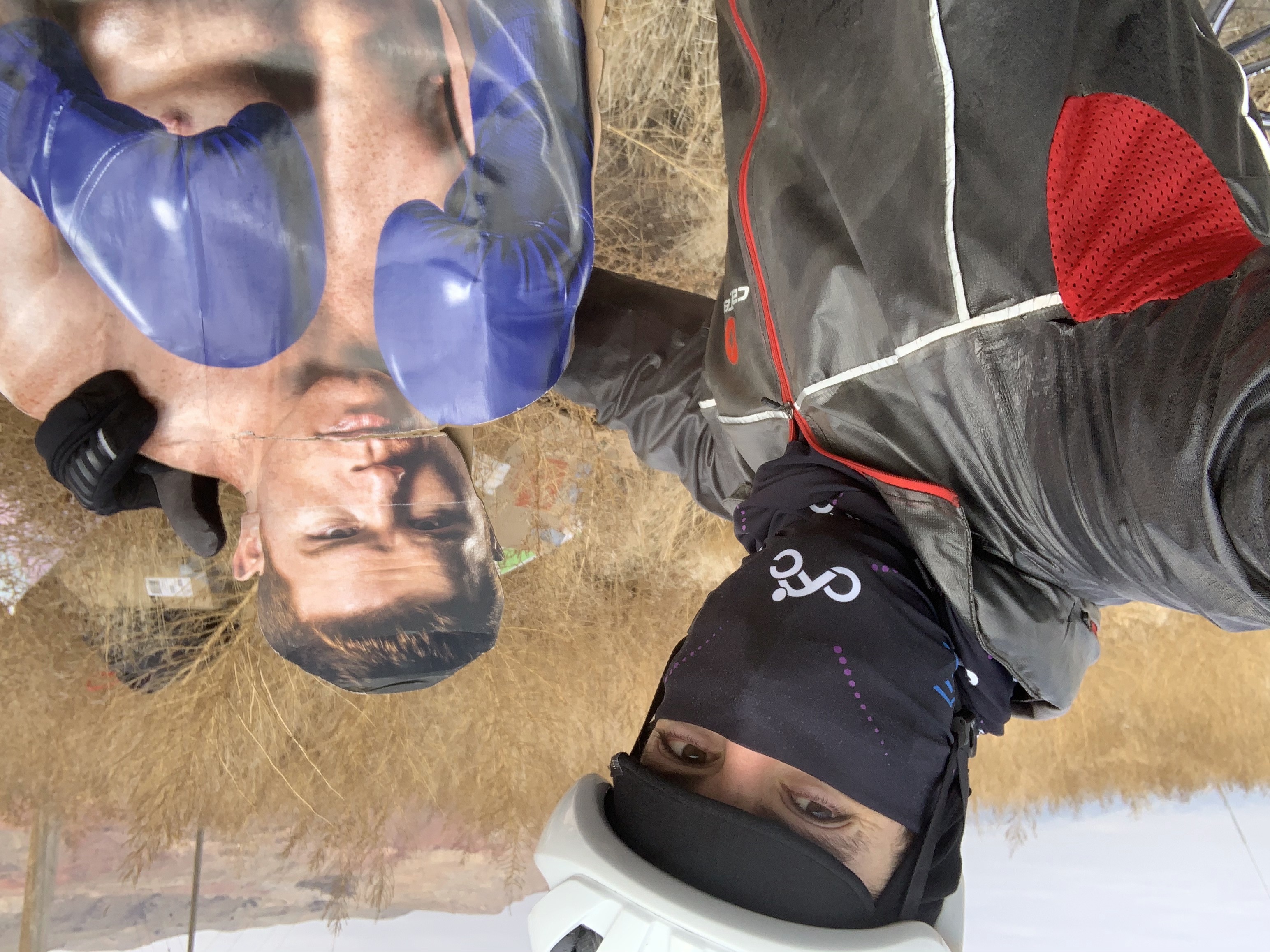
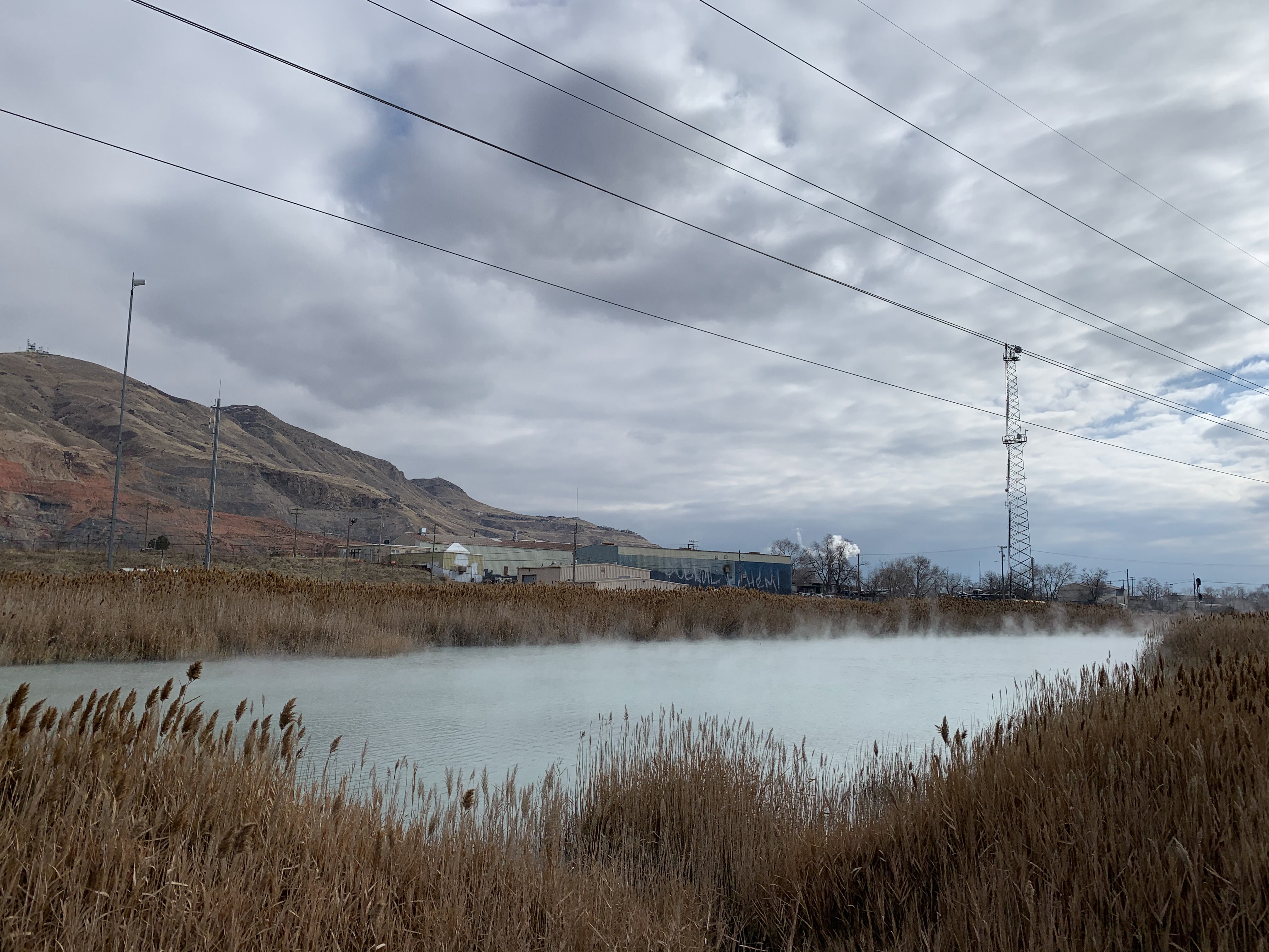
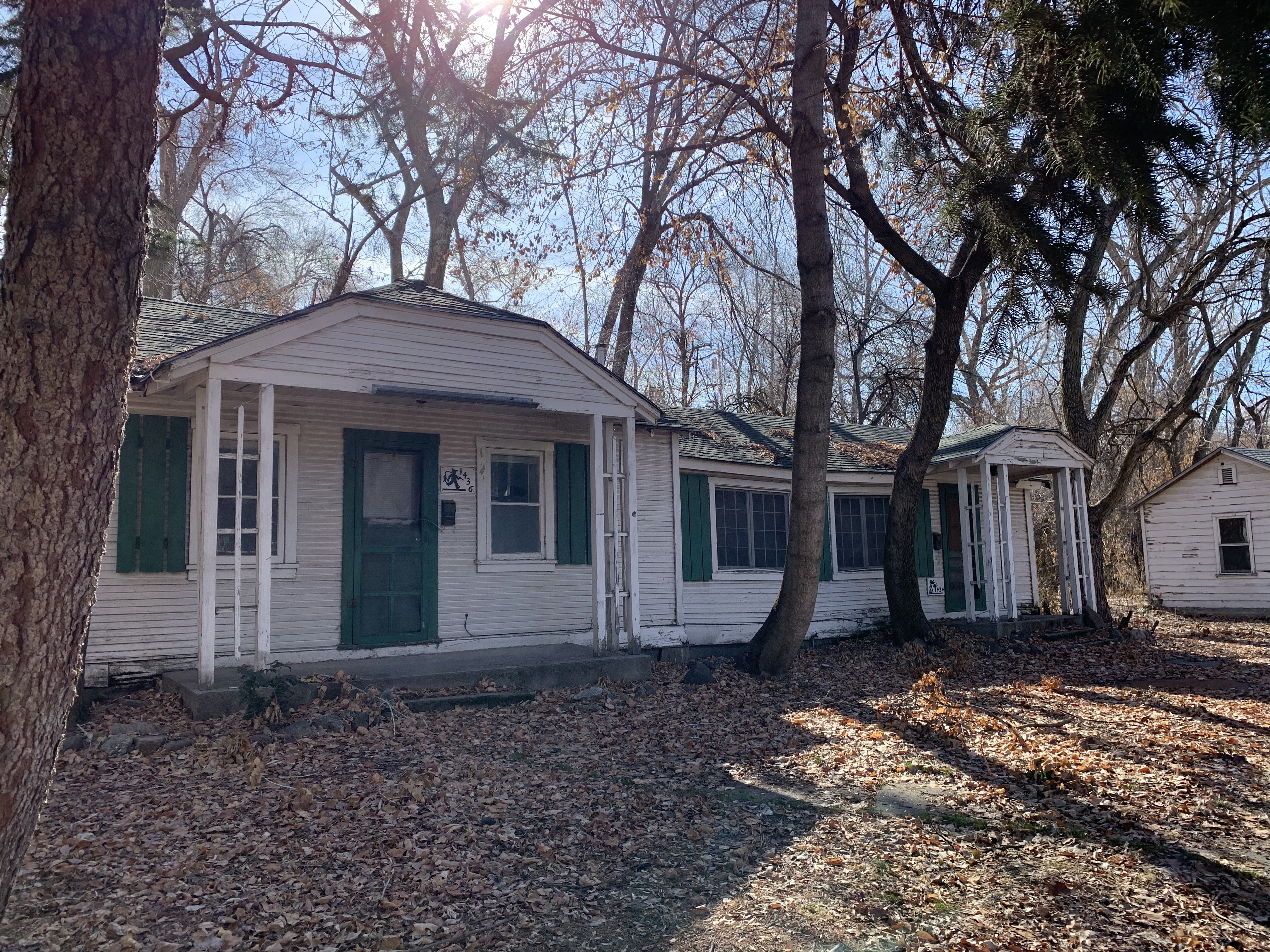
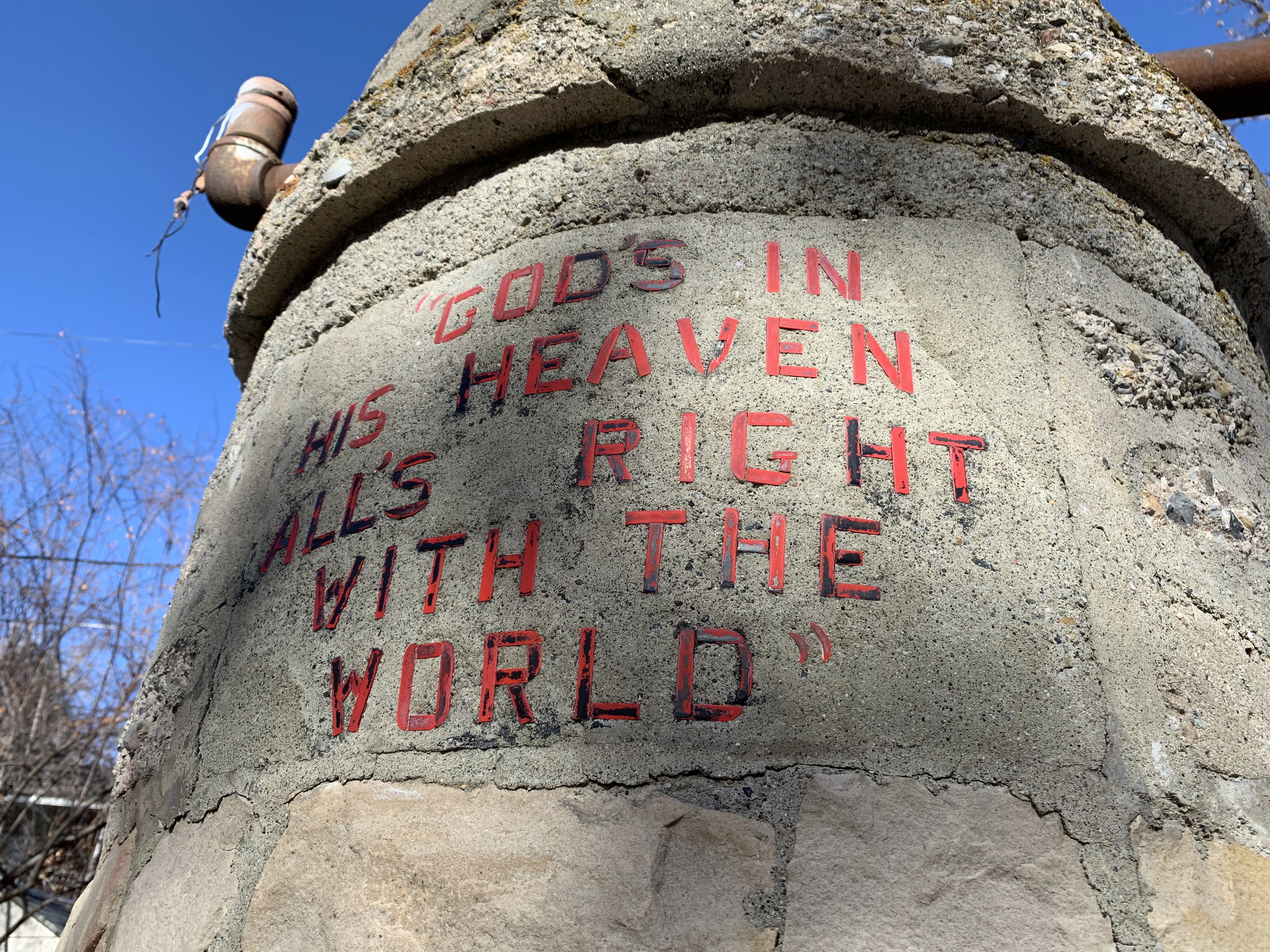
Beck St. Autonomous Zone (BSAZ) Edition. Never realized how residential that small cluster of streets off Beck is. RIP Swede Town Pub. Very interested to learn more about the abandoned church at the corner of 1500 N Dexter St. Swede Town is a very interesting place. The usual Warm Springs Rd. stuff but the Reclamation Rd. was a new one! Lots of odd and end streets with such attractions as a guy taking a leak at the far end of Rose Park Golf course, my friend Canelo Alvarez (pictured), a guy just tossing rocks at stuff, and a lot of warm, stinky steam coming off the warm pools. Heading back into town I found a hovel full of cats off Ouray Ave which made me nervous (just by the proximity to fast cars on 300 W.) All in all, the most interesting exploration yet! Which is kind of ironic as I've ridden a lot of these roads a bunch before.
Photos:
RideAllSLC 2k21 Ride: 009
Notes:
Just a nice sunset ride to pick up some streets!
RideAllSLC 2k21 Ride: 010
Notes:
The “why does this neighborhood exist” edition. Filling in the final gaps on campus before heading to the southeast. Originally planned to do all the neighborhoods east of Foothill in one go but I’ll finish it another day.
RideAllSLC 2k21 Ride: 011
Notes:
Making Sam take lots of repetitive right-turns edition. 2016/17 reunion tour with Melisa!
Photos:
RideAllSLC 2k21 Ride: 012
Notes:
More gaudy homes in the Foothill Neighborhood edition. Starting to lay some lines across major roads and trying to eliminate some isolated neighborhoods and streets. Really looking forward to riding grids.
RideAllSLC 2k21 Ride: 013
Notes:
Mid-Block Neighborhoods Are Dope Edition. Seriously love the snuggy mid-block homes. Don’t love the terrible road conditions though. Never realized there are TWO University Streets off 400 S. either! Starting a “just ride something different home” strategy for the avenues.
RideAllSLC 2k21 Ride: 014
Notes:
Snow? Edition. Nothing too stand-out from this one. Several fun mid-block neighborhoods but not quite as cozy as the University ones. The ward house in between Yale and Harvard is probably one of the coolest ones in the city. The Strava "during the ride" map had "Driscoll Dr." listed as a road off 1300 S. east of Hub & Spoke Diner, but it doesn't show up on any others (including the post-ride map!) The first total mystery I've run into so far.
RideAllSLC 2k21 Ride: 015
Notes:
The "I used to live over here" edition. I think I might need to think about taking some long rides where I just go down longer, main thoroughfares. For example, if I had already simply gone down 1500 E and 1900 E and even 1700 E for that matter I could have saved a bit of time. Oh, well! (Post Completion Note: I should have listened to my own advice...)
RideAllSLC 2k21 Ride: 016
Notes:
The "not so sure what I was going to do today" edition. Filling in the back corner of the Country Club and Bonneville Hills neighborhoods. Reminiscing canvassing the neighborhood around St. Ambrose with Mr. Wheeler and running across Mark Shurtleff. Don't think I rode Sugarhouse Park at all last year which is crazy to think about! Don't think I missed it either! ALMOST missed Brentwood Circle and DEFINITELY missed Nerual Circle the first time down 900 S (because I missed two segments of it.) HOWEVER, let it be known that I went BACK and most CERTAINLY went into Nerual Circle DESPITE what the FAKE GPS DATA says!!!
RideAllSLC 2k21 Ride: 017
Notes:
“Spiritually Millcreek” Edition. Can’t say I looooved this one. Made a couple errors on the “is this the Salt Lake City or Millcreek part” but I’m pretty confident I got everything I needed to. Ran into Drew which was really nice!
RideAllSLC 2k21 Ride: 018
Notes:
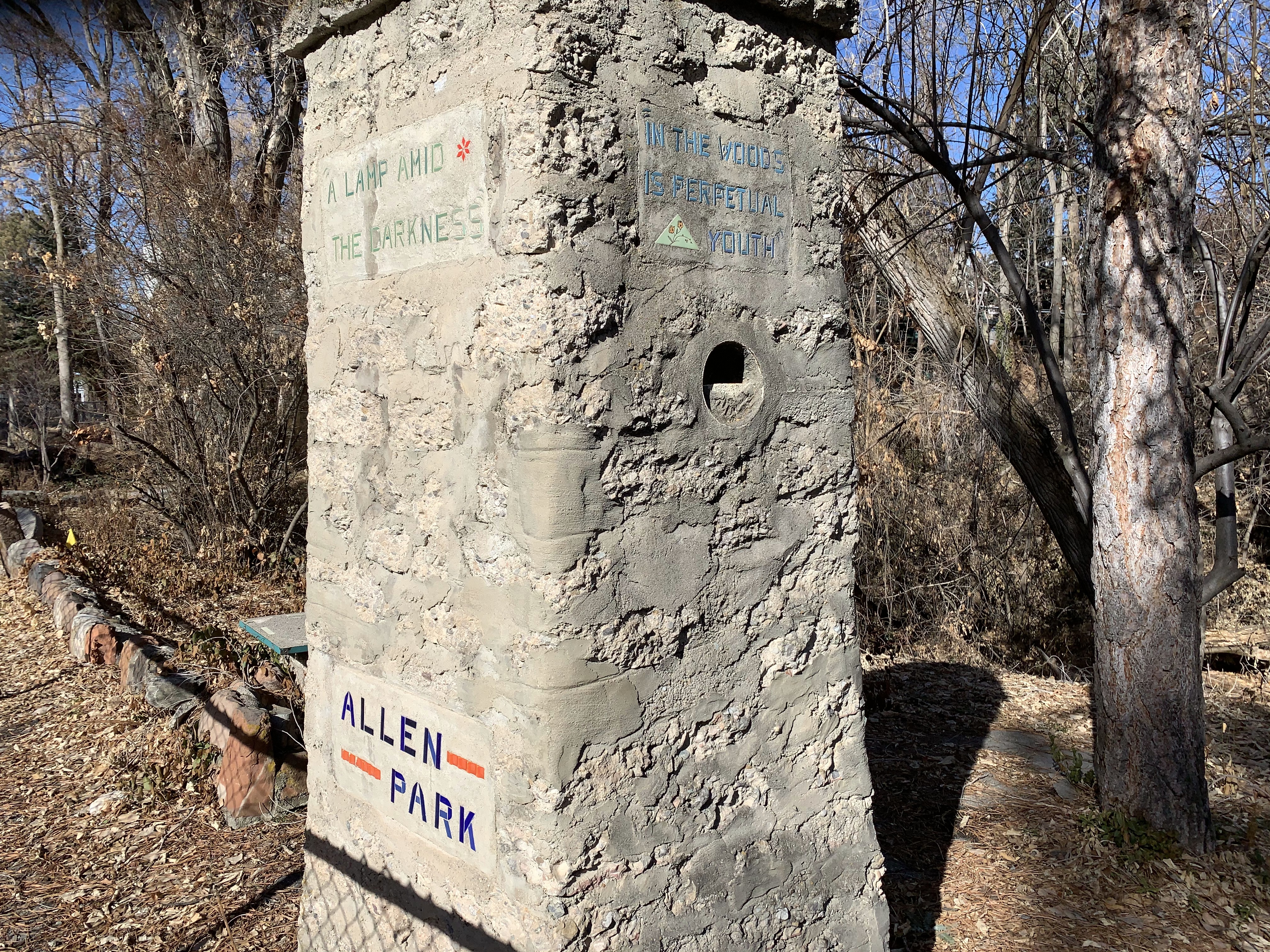
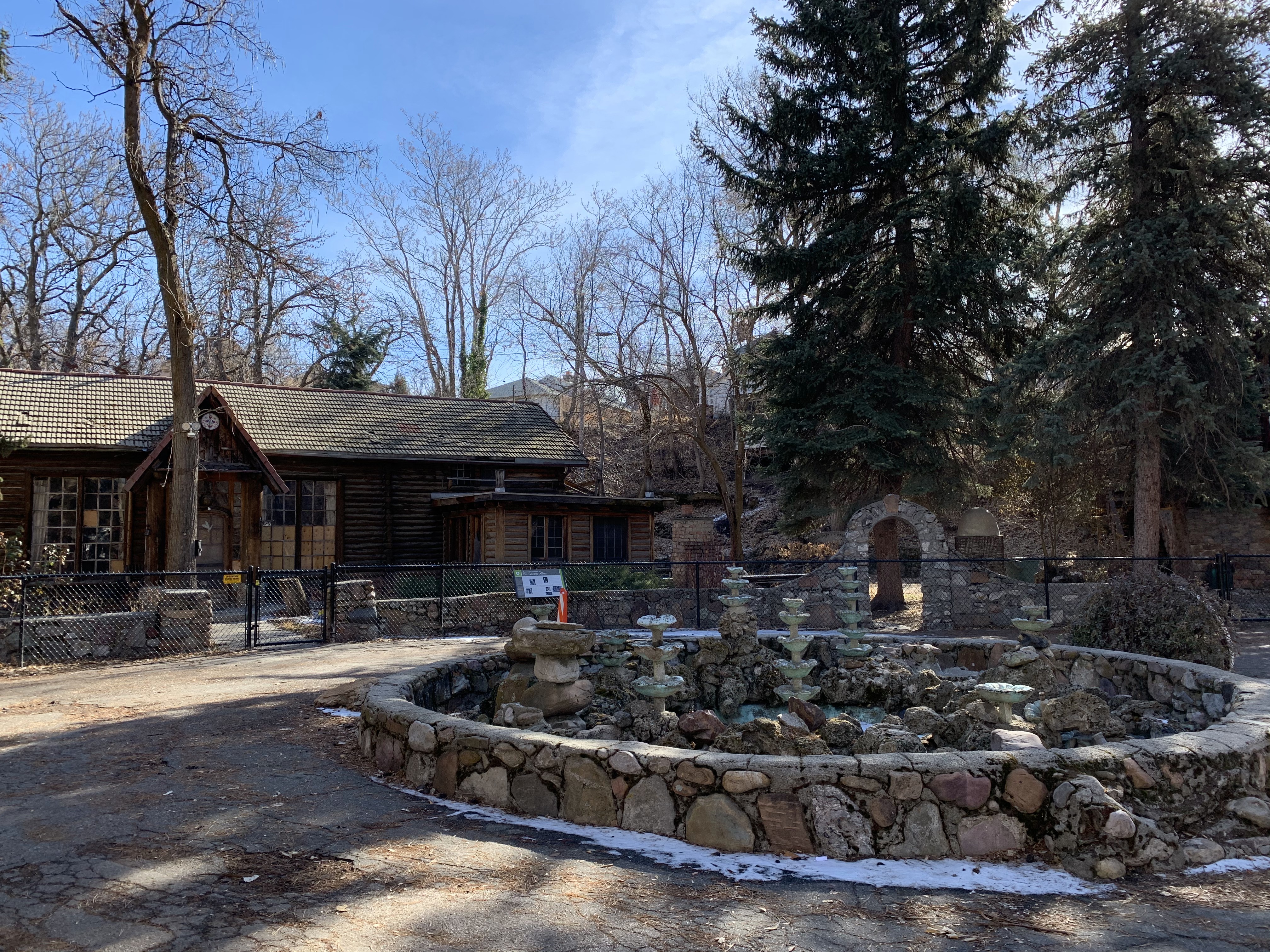
The “Allen Park” edition. It’s great that it’s being preserved! But there’s got to be a more fun way of doing so than a bunch of chain link fence. Regardless it was my first time visiting so I’m glad it was along the way.
Photos:
RideAllSLC 2k21 Ride: 019
Notes:
Just working my way west.
RideAllSLC 2k21 Ride: 020
Notes:
The “Brick Bungalows for Days” edition. Never had to pee more in my life. Really wanted to finish the last quadrant of streets I have between 1500/1900 E and 1300/1700 S. Soon I won’t have hardly anything east of 1100 E to do.
RideAllSLC 2k21 Ride: 021
Notes:
The "I also used to live over here" edition. Basically done with everything east of 1300 E with the exception of some Brickyard stuff. My conclusion is that the farther east of 1500 E you go the worse the homes are. The real magic is west of there.
Photos:
RideAllSLC 2k21 Ride: 022
Notes:
The Narrow Edition. Trying to lay some lengthwise to make the widthwise even easier. Midblock streets are still dope.
RideAllSLC 2k21 Ride: 023
Notes:
"Sugar House is not my Favorite" Edition. Even just passing through Sugar House is unfortunate, but spending the time to ride through all of it was pretty bad. What's the deal with Stringham, Simpson, and Wilmington Avenues? What is anything going on in the 2100 S and Highland corridor? I know that the "Sugar House was so much better before 2010" bit is old and tired but seriously... eek. The rest of the ride was fine though.
RideAllSLC 2k21 Ride: 024
Notes:
I didn’t say hi to Tom edition.
RideAllSLC 2k21 Ride: 025
Notes:
The “really doing a great job for our homeless” edition.
RideAllSLC 2k21 Ride: 026
Notes:
The “I’m ready for warmer weather” edition. If you're wondering what my plan for 700 E and State Street is, it's looking more and more like "wake up super early in the morning and bomb down I St and take 700 E all the way to Nibley Park, backtrack to 2700 S, to 500 E, to 2100 S, and then take State Street back home." Same with Foothill and 400 S, although that will be a separate adventure.
RideAllSLC 2k21 Ride: 027
Notes:
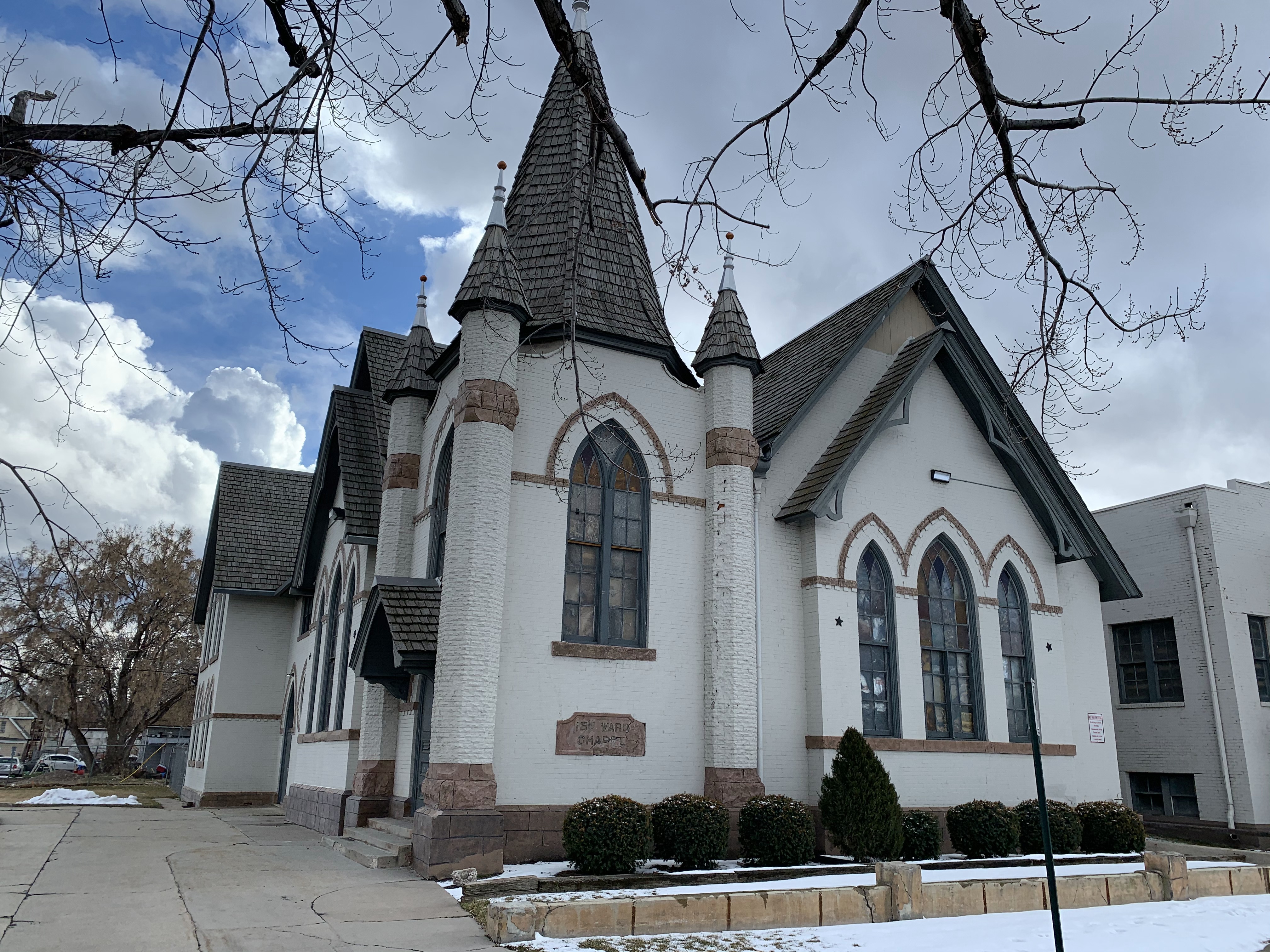
I LOVE the 15th Ward building. This was kind of a random route but was enjoyable to start working the west side neighborhoods finally.
Photos:
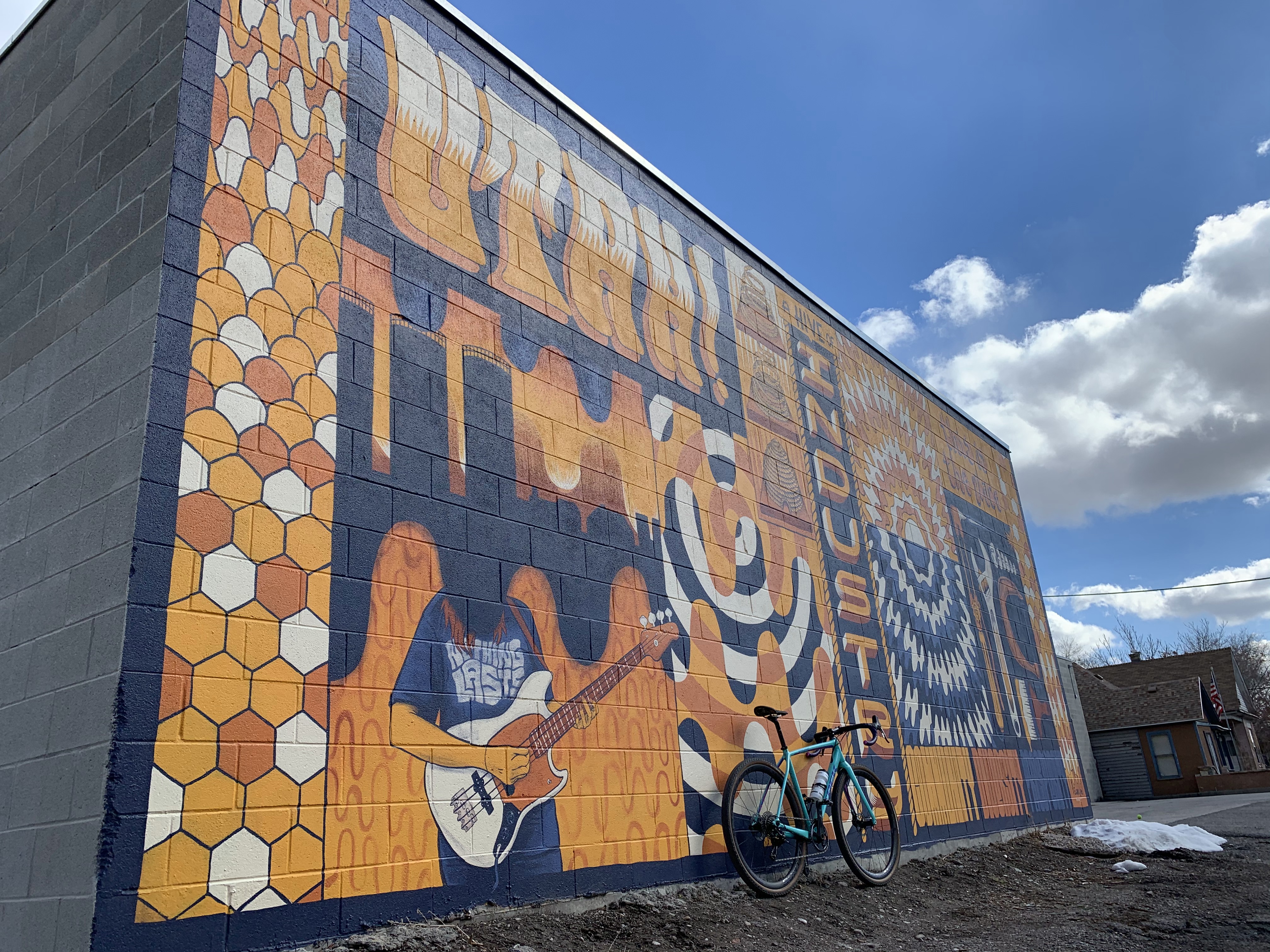
RideAllSLC 2k21 Ride: 028
Notes:
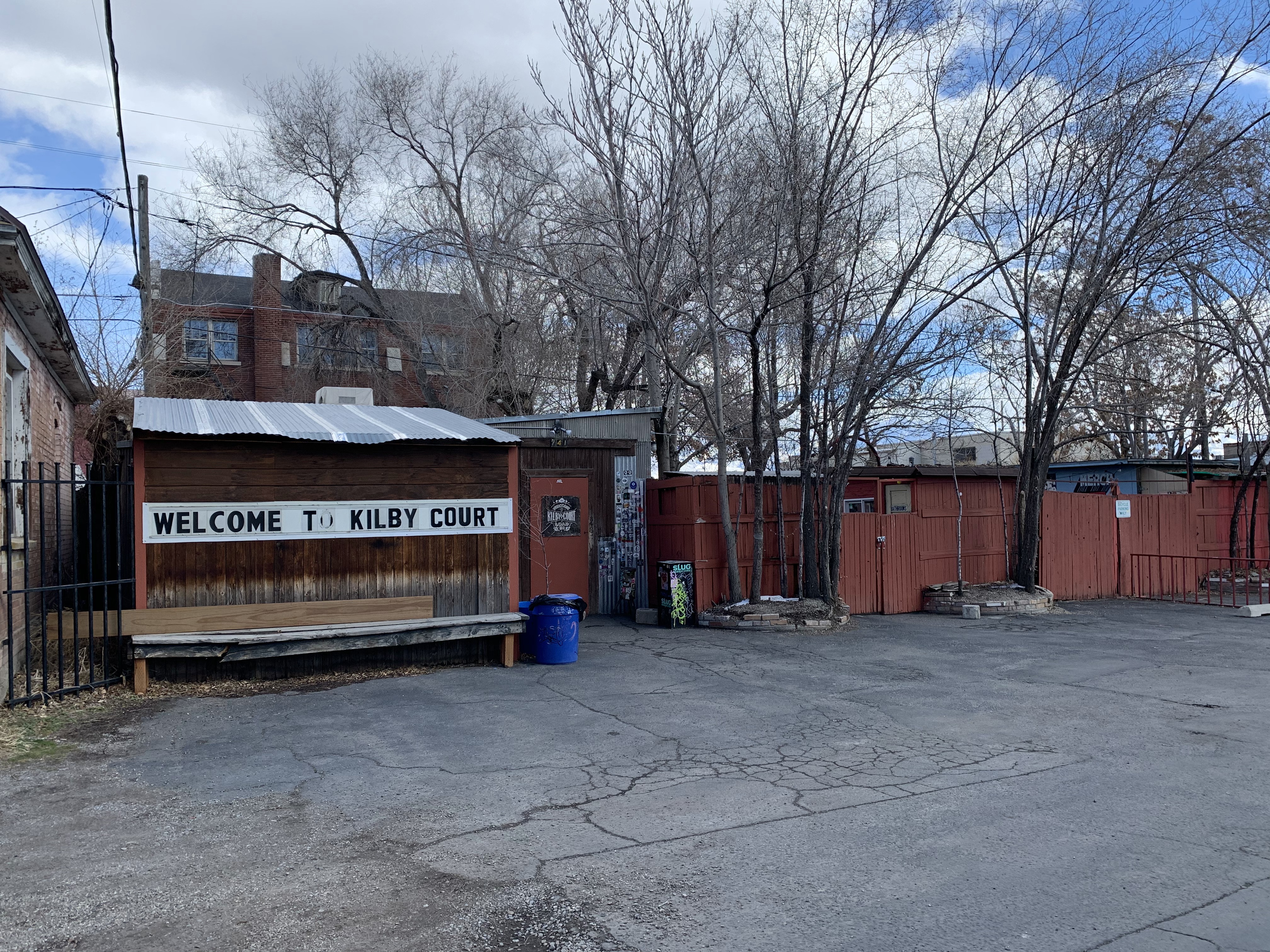
Visiting the venues edition. RIP Shred Shed. Miss you Kilby. 500 S & 600 S weren't too bad considering it was a Sunday afternoon. LOTS of really fun midblock neighborhoods including the super cool Delmar and Wayne Courts. I missed what appears to be Lang Place behind Trader Joe's (no signs.) Major Street off 700 S does not exist anymore despite what Open Maps says and Woodbine Street (also off 700 S) is completely ripped up for construction. All in all a fun day.
Photos:
RideAllSLC 2k21 Ride: 029
Notes:
Fun fact: Salt Lake City extends from 3300 S. at Brickyard all the way to 3300 N! I've ridden most of this before but it was fun to check out the road to the Jordan OHV Park finally. It was also interesting to poke into some of the side streets off 2200 W.
Photos:


RideAllSLC 2k21 Ride: 030
Notes:
Everything south of I-80 should be annexed by Millcreek edition.
RideAllSLC 2k21 Ride: 031
Notes:
Annex Everything south of I-80 into Millcreek Part 2
RideAllSLC 2k21 Ride: 032
Notes:
Can we go back to fake spring?
RideAllSLC 2k21 Ride: 033
Notes:
Fairly long day in the drizzle. Never really poked around 500 W or 700 W before and that was kind of interesting. There's a bit more of a network of roads back here than I originally thought. Working through some fun Liberty Wells neighborhoods too.
Photos:

RideAllSLC 2k21 Ride: 034
Notes:
Riding the wrong way down one way streets edition. I always felt like 200 W past 900 S could turn into something really interesting. Not sure what but it seems like it could be a pretty cool neighborhood of some sort.
Photos:
RideAllSLC 2k21 Ride: 035
Notes:
Pure chaos edition. North Temple corridor is quite chaotic. Did I need to do the trailer park? Probably not. Could I have done the other? Probably, but decided not to.
RideAllSLC 2k21 Ride: 036
Notes:
Super fun neighborhood edition. Lots of very friendly folks! Despite not being much of a grid there was a pretty decent flow to this subdivision. 600 N suuuuucks over I-15 and around Redwood.
RideAllSLC 2k21 Ride: 037
Notes:
Beat the rain edition. Starting through the Rose Park proper sections. I would love it if I could do one of these flat, valley rides without a bunch of wind one of these days. Lovely neighborhood and rode by McCall’s grandparent’s house.
RideAllSLC 2k21 Ride: 038
Notes:
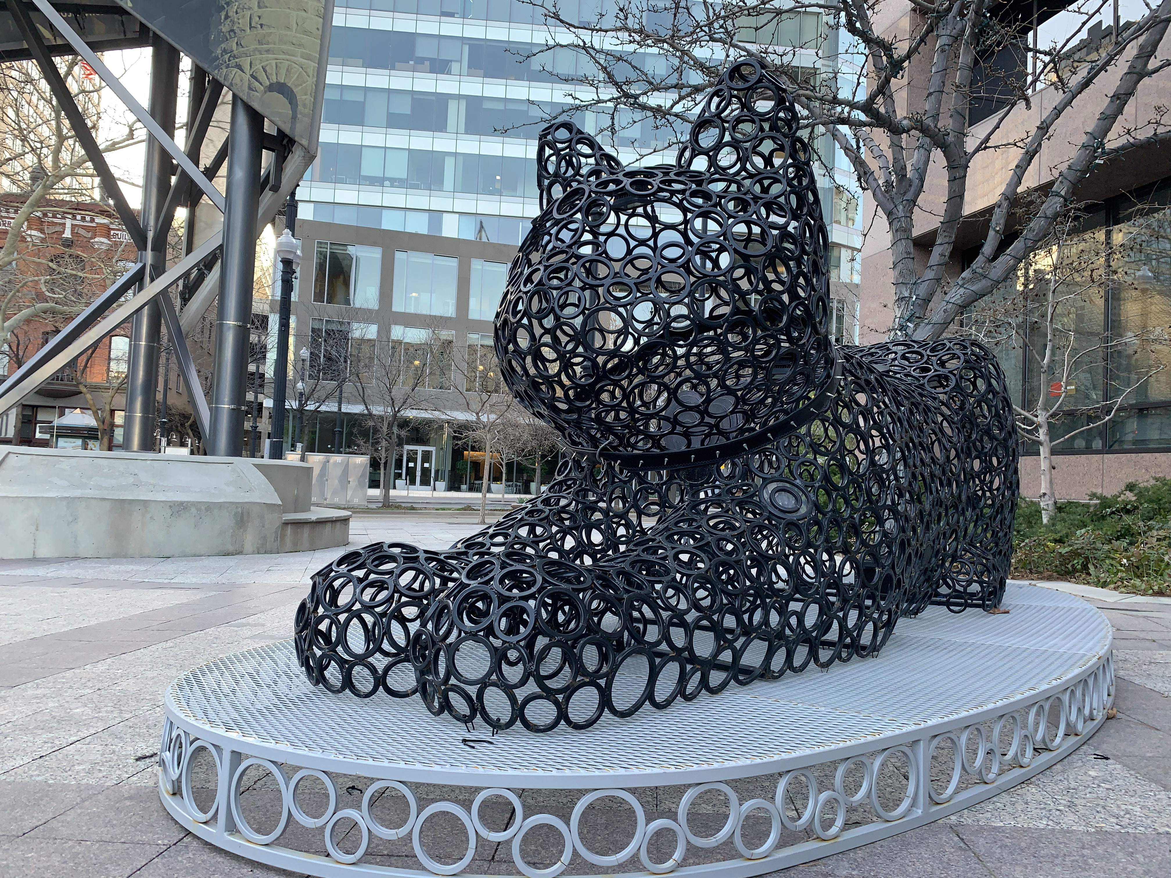
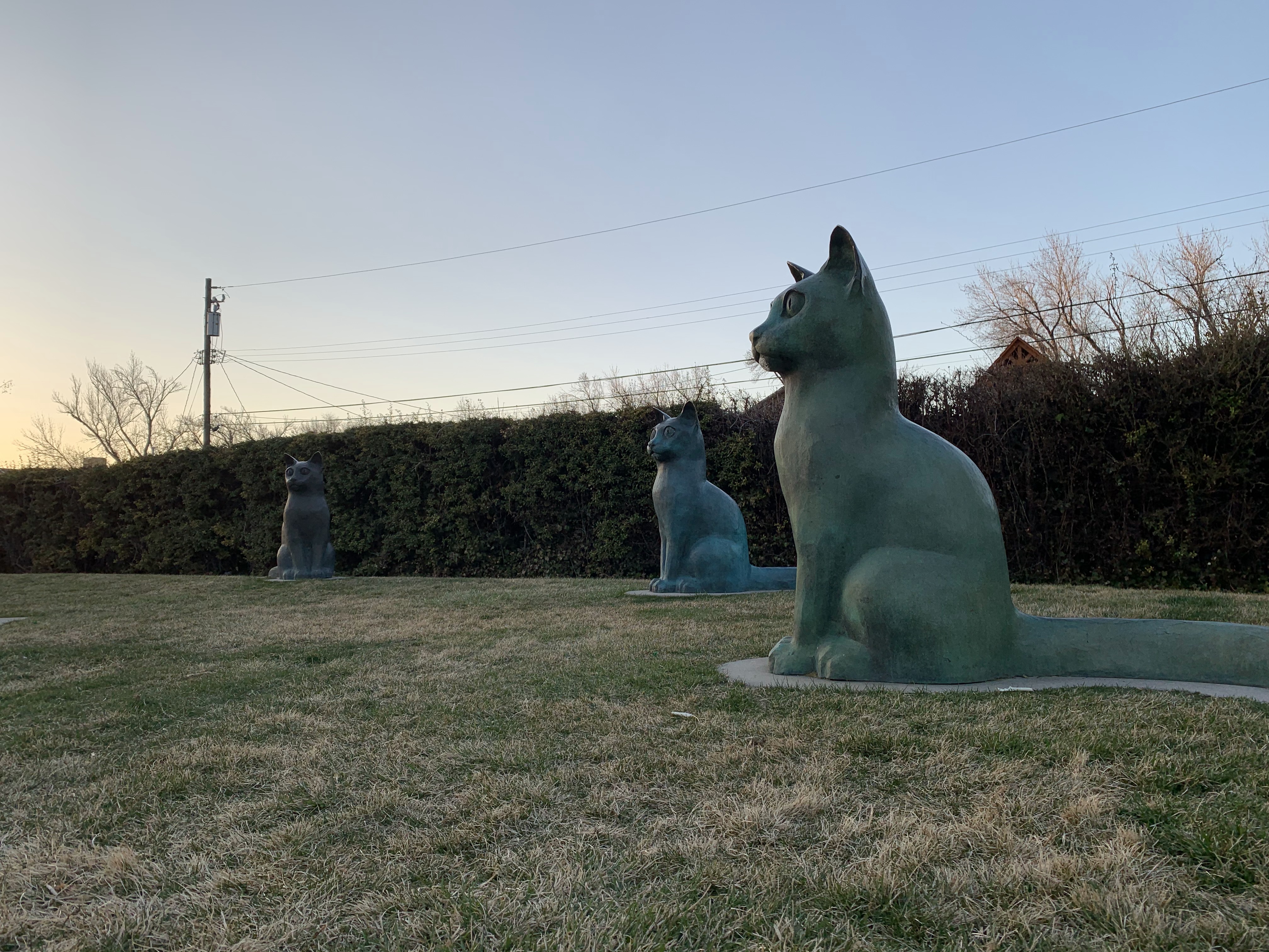
Rose Labyrinth Edition. The only part of the northern Rose Park segment that even remotely gave me a rose vibe were the "leaves" around Rambler, Signora, etc. Rose Park is a delightful neighborhood. There is a park named after James Steenblik that has a bunch of cat sculptures and it is obviously my new favorite place in Salt Lake City. Didn't get a picture because a family was playing bocce ball but I will return and take all the photos with the bronze kitters and hit Sonata Rd that I TOTALLY missed. SMDH.
Photos:

RideAllSLC 2k21 Ride: 039
Notes:
Chicken Breakfast Are Here Edition. Honestly just as much traffic at 5:30am as 9:00pm. Not worth it lmao. /p>
RideAllSLC 2k21 Ride: 040
Notes:
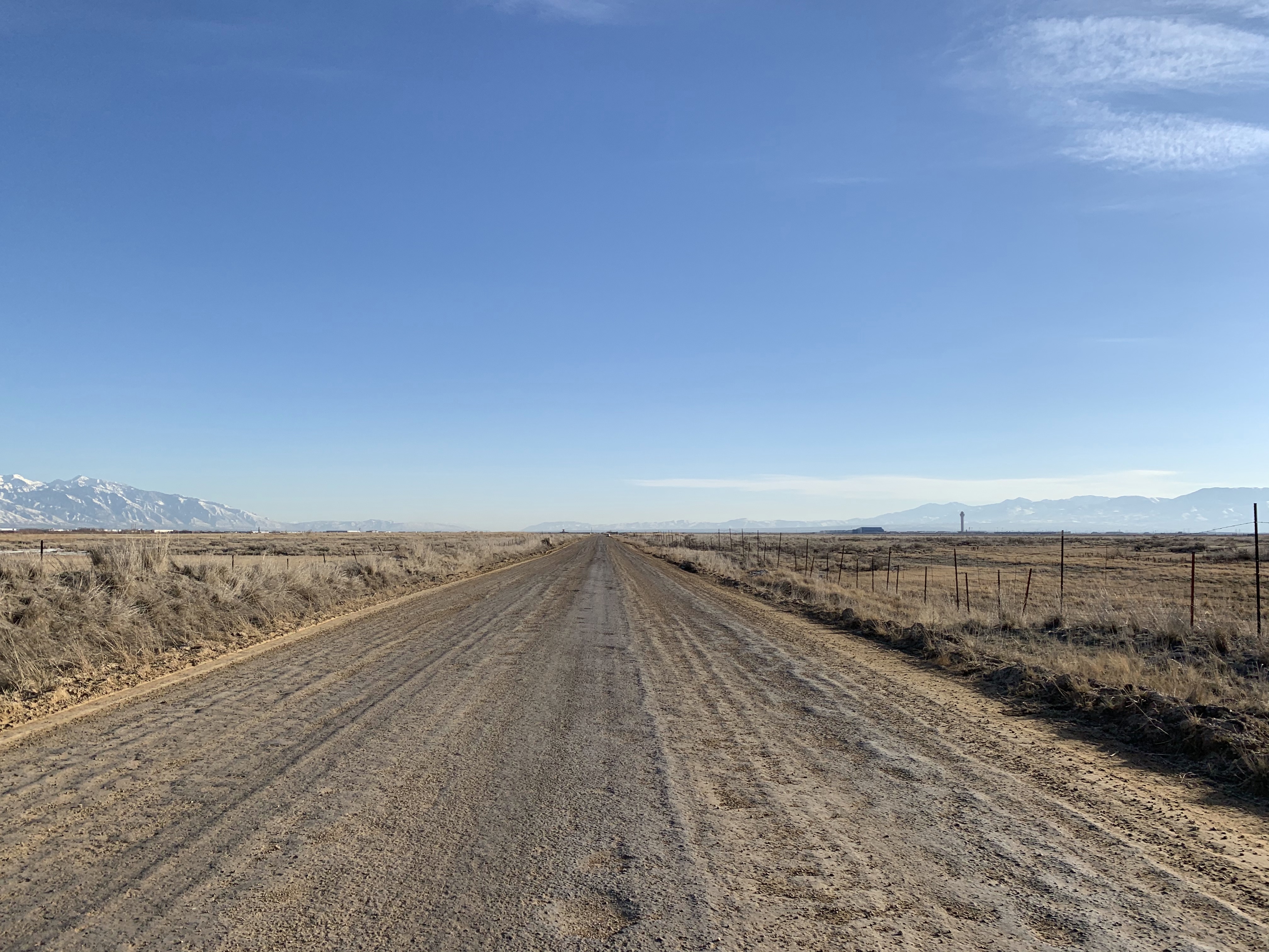
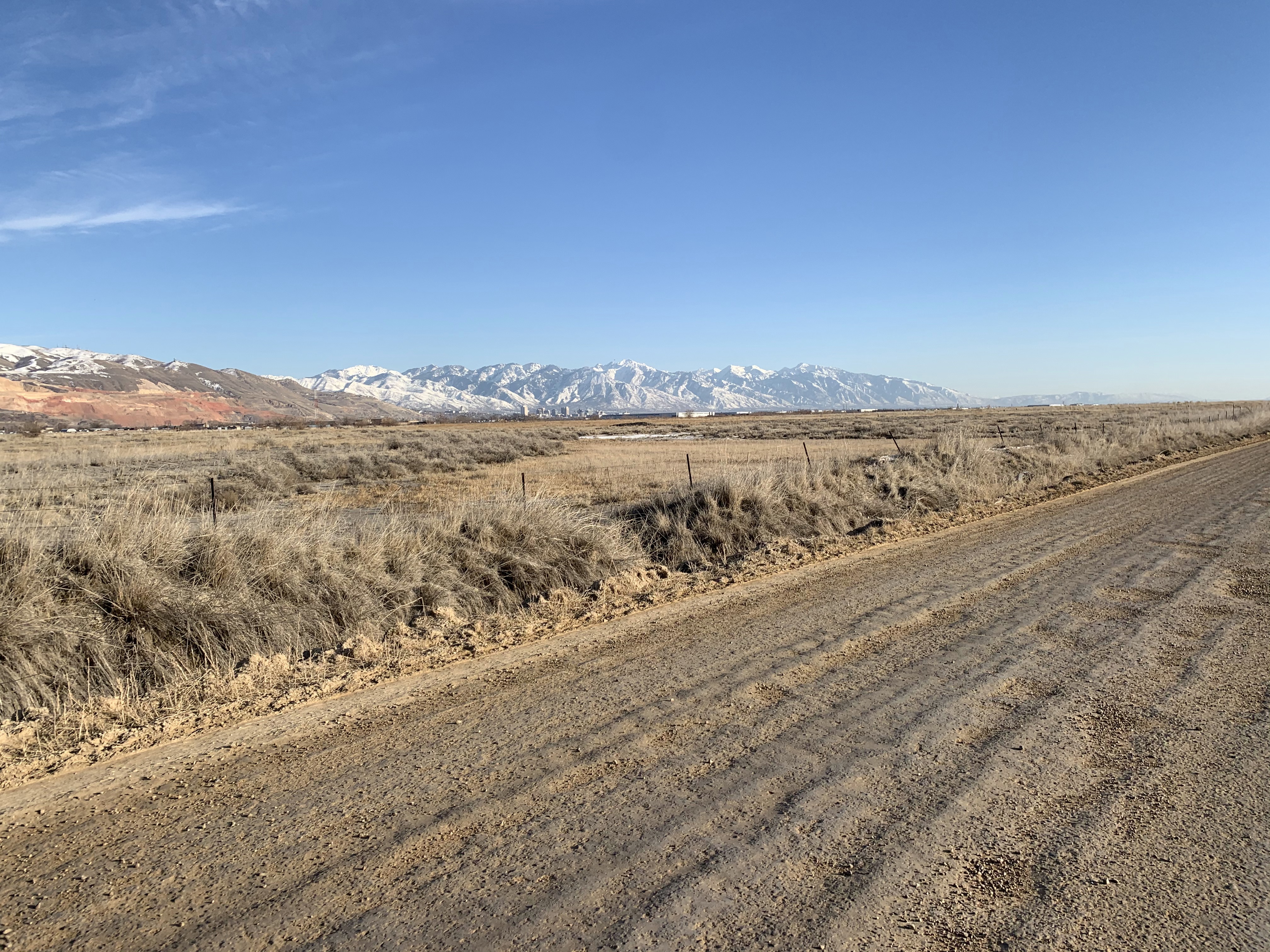
Wow. How big is this city anyways edition. Didn’t have enough food and liquid to finish all of the warehouses south of California Avenue unfortunately. Might break my “always start at home” streak and drive out to finish that section. Accidentally did West VAlley City because of construction but I got that final bit of 2100 S and 7500 W. I don’t believe Tempo St. is real and I will not be doing it. Incredible how big this danged city is.
Photos:
RideAllSLC 2k21 Ride: 041
Notes:
The Outer Rim Edition. The door in the back was busted and I totally wanted to go in and check it out, but alas no reliving playing shows in high school. Redwood Rd has a bike lane. That’s something I guess. Wasn’t entirely riding with an agenda today but good to get Redwood out of the way finally. Looking at you Foothill and 400 S. Next.
Photos:

RideAllSLC 2k21 Ride: 042
Notes:
Glendale Part 1 Edition. Another delightful jaunt on the west side. Glendale's reputation is far more negative than it ought to be. That applies to all of the west side. The corridor around 900 S north of the 9-Line trail was a little bit of a nightmare. Had to go and cover some of my missing segments farther north as well!
RideAllSLC 2k21 Ride: 043
Notes:
McPoplar Groveby edition. Making McCall experience the joy of endless right turns and circle backs.
RideAllSLC 2k21 Ride: 044
Notes:
The 300 W at 5:00pm on a Friday edition. My map was misbehaving throughout the ride so of course I made a big miss on a ride where I was making up for misses. /Essentially/ I am done with everything east of Redwood Road which is pretty incredible considering this has been a 3 and a half month project so far. I still have Foothill Drive and 400 S to do one morning, and then I'll have to put together a ride to cover some of my additional misses on the east side.
RideAllSLC 2k21 Ride: 045
Notes:
Not a whole lot to add to this one. It's a lot of warehouses. It's some industrial stuff. It's an obscene amount of construction. I usually like riding out here but the wind and construction made it "just ok." Getting very close to finishing!
RideAllSLC 2k21 Ride: 046
Notes:
The City Creek Canyon Edition. Just the 200th or so time I've ridden the canyon!
Photos:
RideAllSLC 2k21 Ride: 047
Notes:
Put this one off long enough.
RideAllSLC 2k21 Ride: 048
Notes:
Making up the misses edition. Utterly bizarre route finding but ultimately pretty fun. I should be finished by tomorrow and/or Sunday with the whole danged city
RideAllSLC 2k21 Ride: 049
Notes:
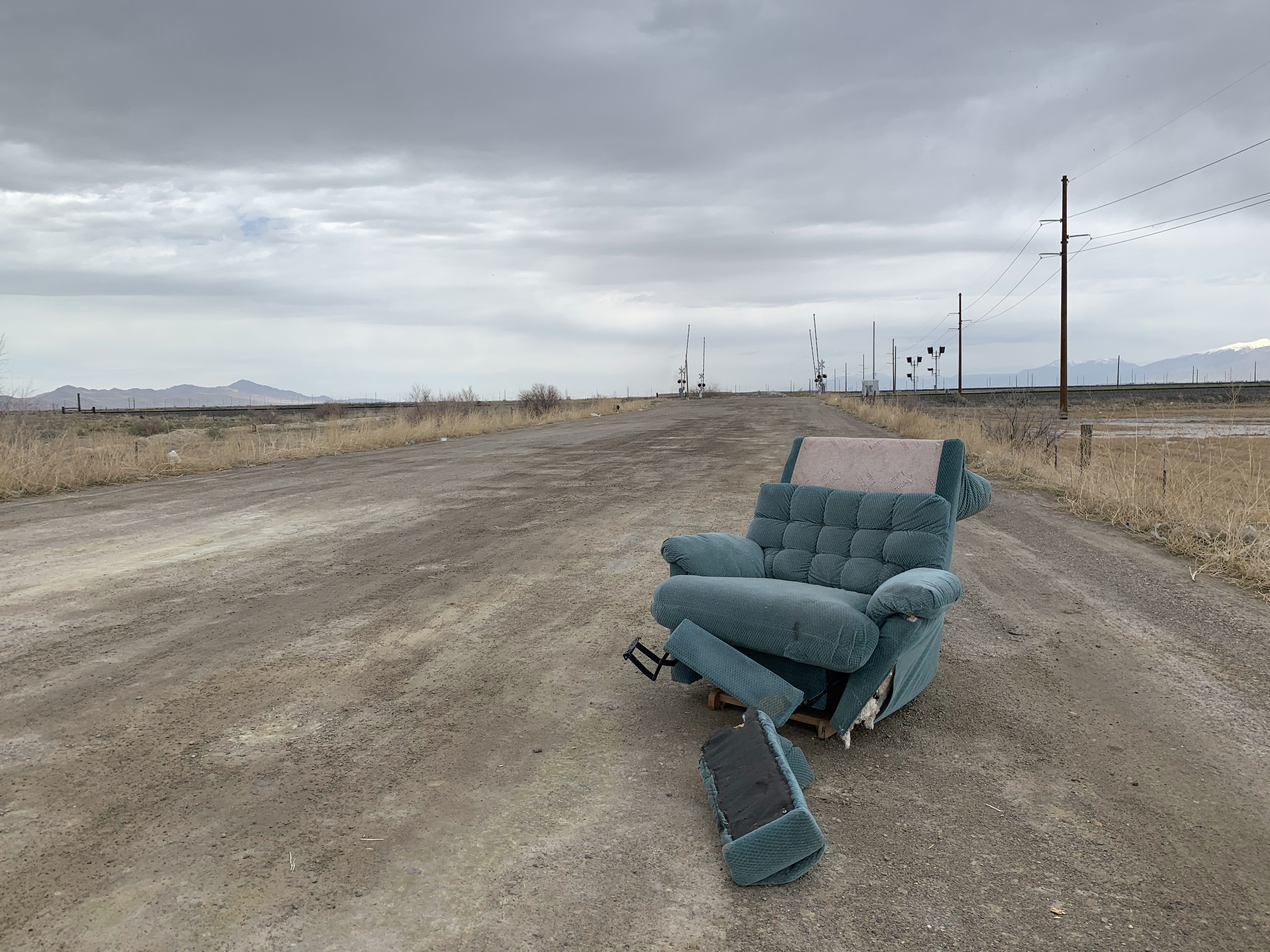
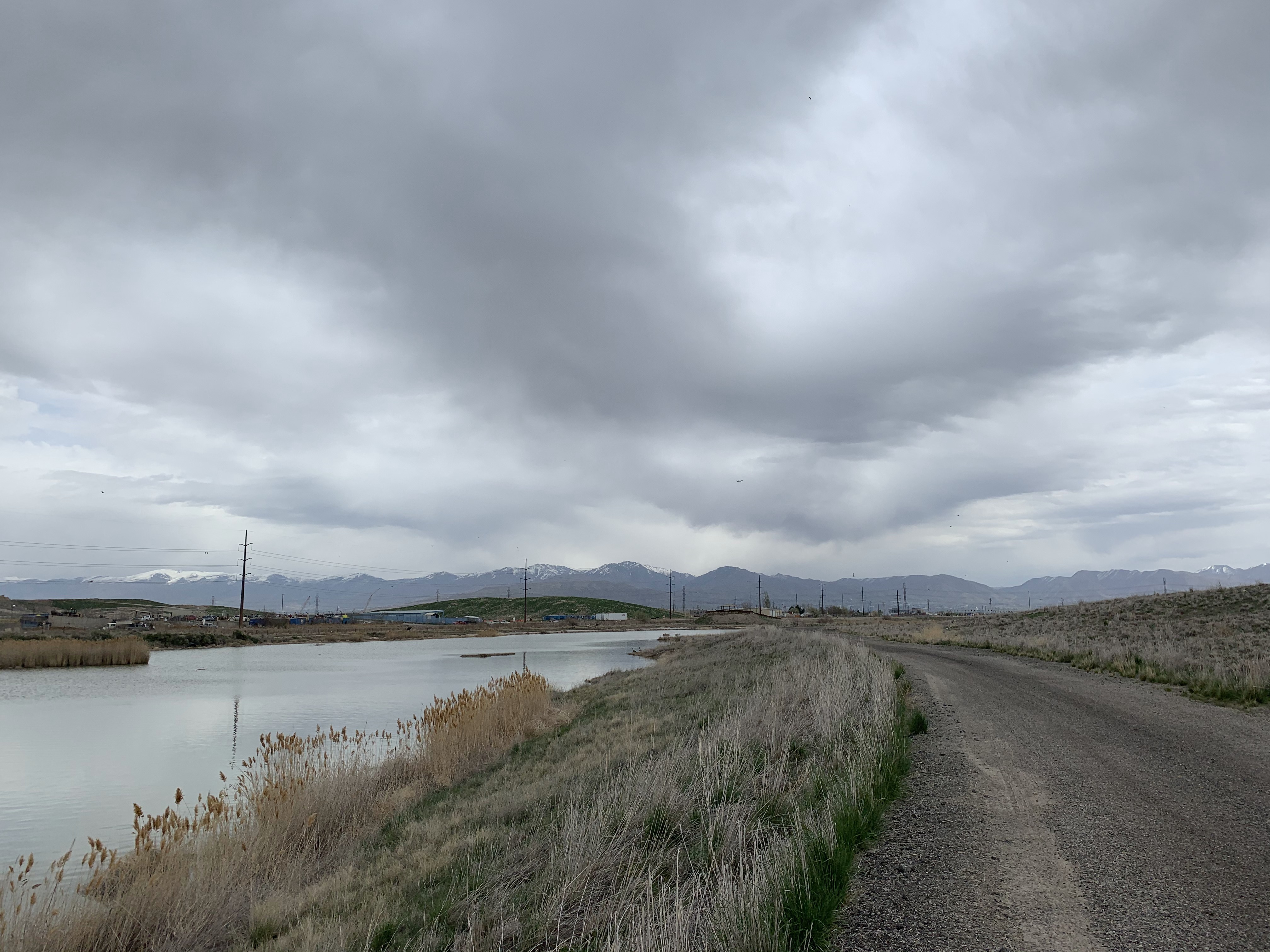
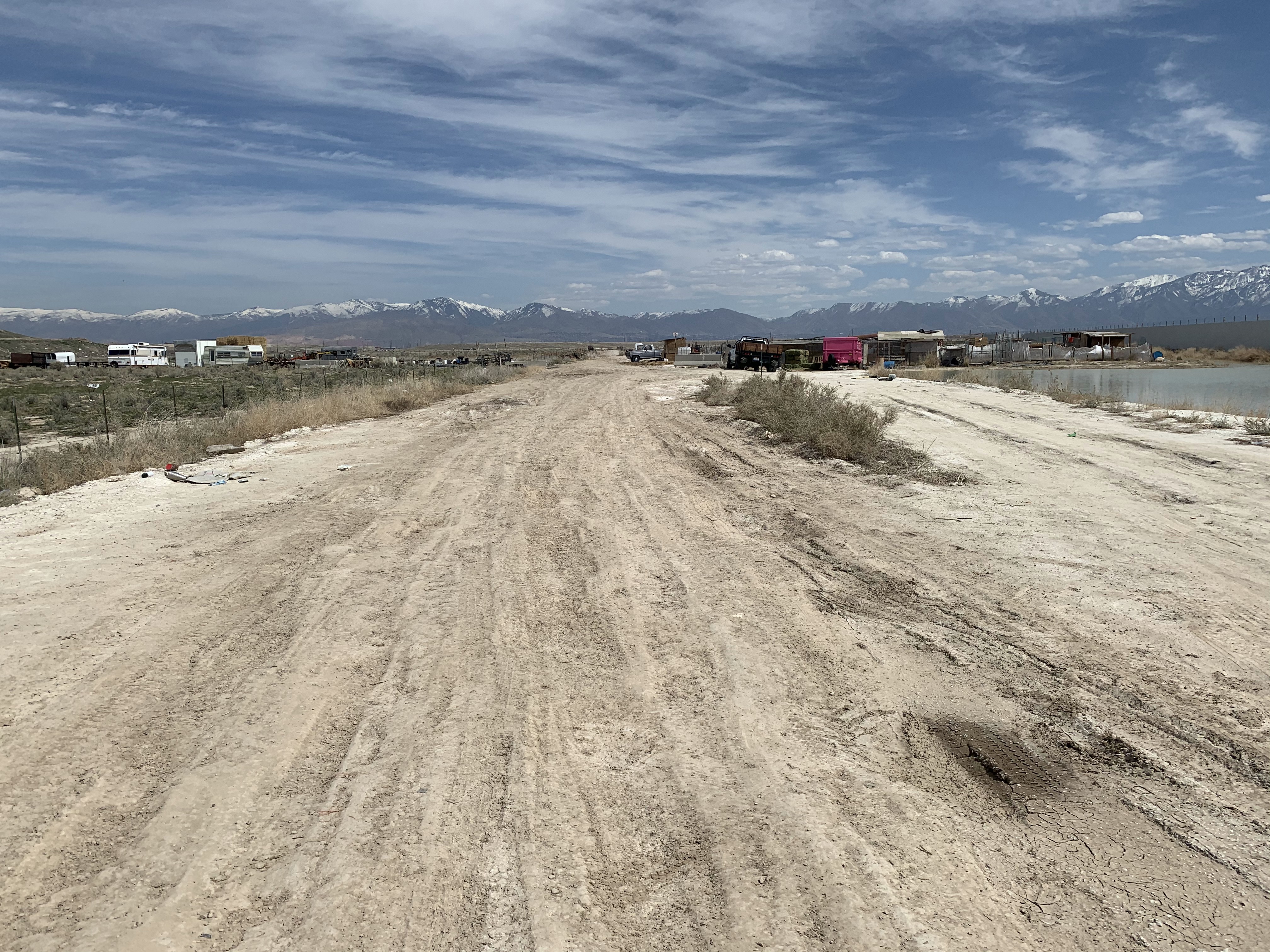
FINISHED. Another round of some west side escapades. Some of the worst dirt road conditions along the end of California Ave and 7200 S. Plus garbage and more garbage galore! Got a little naughty and rode the new prison road despite the signs saying not to. The big bike lanes are a nice edition and will make for a fun time trial loop back into the International Center. The only ride where I didn’t start from home either and that was a GOOD decision. All in all it has been a fun project but if I were to do it again I would start at the outer edges and work inwards. My east to west method was probably not ideal in terms of efficiency. Now I can finally go ride Emigration Canyon SHEESH.
Photos: